Empowering Smarter Land Decisions

Landlytics simplifies land evaluation and compliance using AI, ensuring informed decisions for investments and construction in Sri Lanka's complex landscape.

An aerial view of a coastal area featuring a dark green water body on the left side and arid land formations on the right. The shoreline is irregular, with patches of vegetation and exposed earth. There are some rectangular plots of land, suggesting agriculture or construction, along with a few buildings present on the right.
A vast landscape view of a rural area with extensive agricultural fields and scattered buildings. Trees and greenery dominate the foreground, while hills and small settlements are visible in the distance. A network of roads and utility lines intersect the landscape, contributing to a sense of human development amidst natural surroundings.
Aerial view of a rural landscape featuring a long narrow road cutting through a lush green area on the left and a rocky, more rugged terrain on the right. The left side is dominated by cultivated fields and rows of trees, suggesting agricultural activity. A small building with a red roof is located near the road. The terrain on the right side includes large boulders, sparse vegetation, and a small waterway running through the rocky landscape.

Our Mission and Vision

We aim to revolutionize land evaluation and risk analysis, providing innovative solutions that empower stakeholders in Sri Lanka's land management and development.

man kneeling on unfinished building during daytime

The Problem

Land buyers and developers struggle with complex regulations, environmental risks, and legal compliance. Manual research is time-consuming, and non-compliance leads to costly rework, legal issues, or project rejection.

The Solution - LandLytics

Our AI-driven platform analyzes regulations, environmental risks, and construction plans in seconds, offering:
Filtered Regulation Reports
– Location-based legal insights.
Risk Awareness Reports
– AI-driven hazard detection.
Property Plan Annotations
– Real-time compliance checks.
AI Chatbot Assistance
– Instant legal and land-use guidance

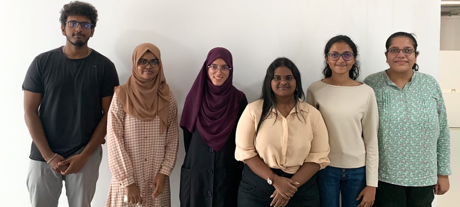
Meet the LandLytics Team

We are a team of six passionate second-year Computer Science undergraduates at the Informatics Institute of Technology, affiliated with the University of Westminster, UK. For our Software Development group project, we united with a shared vision—to develop an innovative and practical solution to the complex, time-consuming process of building proposal planning and construction analysis in Sri Lanka. With technology as our tool and efficiency as our goal, we aim to simplify land evaluation and regulatory compliance through AI-powered insights.